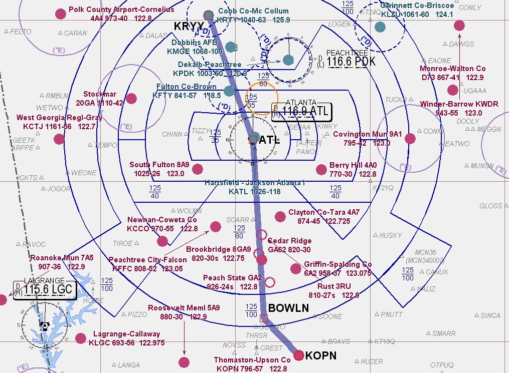
 I love flying VFR, and the weather called for clear skies and unlimited visibility. However, I also like flying in "the system", and the Tiger has a new Garmin 430 and I haven't 'scratched my IFR itch' in awhile, so I decided it was time to go back into the Class B. Since the weather was so nice I would try to fly directly over downtown Atlanta and Hartsfield-Jackson Airport and see the city lights. The last time I tried this I got vectored way out to the west and barely scraped the controlled airspace, so I looked for a destination that would increase my odds of overflying the city. KOPN looked pretty good, had an ILS and was only about 60 miles away.
Objectives of the flight: IFR in the Class B and a night landing.

I got all of my planning done and called Flight Service for a weather briefing and filed my flight plan. I still think its great that you can do this from home with a computer. I got to the airport about 15 minutes late to find my instructor manning the desk. One of his other student pilots had asked to observe radio procedures and wanted to come along. While he may have been more interested in how to handle calls at an uncontrolled field, he would surely get some experience with radios on this flight.
Preflight and ground procedures were all normal. Ground control was ready with my clearance when I called for taxi. I was astounded; "Cleared as filed, climb to 3000, expect 7000 in 10 minutes, Atlanta Departure on 121.0 squawk 5211". AS FILED! Fantastic, I would fly over the city in daylight on the way down, and come back over the city lights! Wonderful.
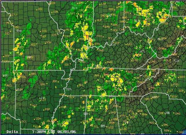
RYY was busy. I guess that's to be expected on a beautiful day in the evening. Bizjets and Cessnas, and even one guy on floats were all trying to get in and out. When I got the call it was 'lights, camera, action,' and we were rolling. All gauges were good and we were airborne. Switched to Atlanta Departure and waited for "radar contact". "68Romeo your Mode C is not working, say your altitude". Hmmmm. Responded, cycled and punched the darn thing. "68Romeo you are radar contact, come left heading 180 climb to 4000 report reaching." Rats! Off/on, check the breakers, punch the ident all no joy. I guess Atlanta would be safe for another day.
 I checked in at 4000ft and told him I would still like to do the ILS down at KOPN. So we flew down the west side of the area underneath the Class B shelf. As we got within 15 miles we were handed off and asked for our intentions. Without the Mode C he told me to expect the full approach, go direct to YATES (IAF) and report procedure turn inbound. I went through my setup (nice to have the Garmin) and turned to go direct. hmmm, the directional gyro wasn't doing to well. Timed out bound and did the procedure turn and checked the DG again - 20 degrees off. Turned back inbound - 20 degrees off. Turned on final - 15 degrees off. Well that stinks.
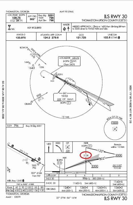
*Trivia - While preparing for the flight I noticed the number in the circle was different then the minimum altitude at the final approach fix. (Its the same for the ILS at RYY.) So that number indicates the Glide Slope altitude at the FAF, the number underlined is the Glide slope intercept altitude."
So we executed the missed approach there and started for home. Very smooth air as the sun set, adjusted the panel lights and stretched a bit. The 430 kept us aware of the various airports along our route as we listened to the (light) traffic buzzing around Atlanta. Poof! The panel lights went out. GNS is still on, radios are working, AMPS/VOLTS are OK. No CBs are popped. OK, so probably a fuse. Tough to check, so I tell my passenger not to worry about it and we pull out our flashlights. Rats.
The rest of the trip home is pretty uneventful as we coordinate our flashlights and get ready for our arrival. I let him do the checklists as I arrange for vectors to the ILS back home. OK, bad call. Trying to do vectors at night without panels lights and a flaky DG is not smart. It is doable in VFR and very smooth air, just not too smart. I just should have set up for the visual. Anyway, the approach was uneventful to a full stop.
Sorry, I forgot to turn on the 96c, no track or stats for this flight.
AA5B
Time = 2.5