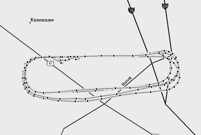
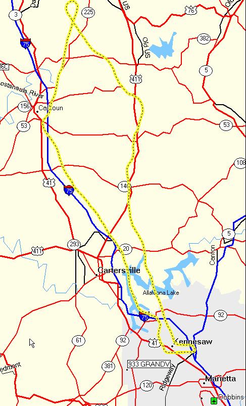
 It was time for an exercise. I wanted to navigate the "old way", by planning a flight, drawing lines on a map, and using dead reckoning and visual landmarks on the ground to get from "Point A to Point B". No GPS for this one. I took off solo from KRYY in a Warrior on a Friday morning to avoid the afternoon CBs. First point was Calhoun (CZL), pretty easy as it is just up I75. Next, over to Dalton (DNN), was a little more difficult. Roads are not as prominent as you might think, and there are a lot of tress out there. Even a little haze makes searching the ground difficult, but after a few long minutes the airport was in sight. Finally, the leg home was along a road, keeping the ridge line on my left an looking for the lake. No problem. Entered with a right downwind to a full stop. In can be done...but it sure is nice to have a moving map
Time = 1.3